Wandsworth Town Centre bus and walking improvements
Our proposals include improved pedestrian crossings, enhanced bus infrastructure, updated loading bay arrangements and new cycling facilities to improve access to the town centre. These measures are designed to support more reliable bus services, make walking and cycling safer and easier, and address long standing transport challenges in the area.
By clicking on each of the buttons below, you can read more about what is proposed and how this may impact you. You can also view maps, ask questions, give feedback, and find out about other ways to get in touch and have your say.
You have until Friday 6 November 2026 to give us your feedback.
Proposals
Summary
Watch the video below for a summary of the proposed changes.
The Wandsworth gyratory is a major one-way traffic system formed by the intersection of the A3 and A205 (South Circular) that enables traffic to navigate Wandsworth Town Centre. We have worked to identify short-term actions, medium term interventions and longer-term ambitions for the town centre.
Our proposals are medium term interventions and cover several key routes within and around Wandsworth High Street and East Hill, including the Buckhold Road and Garratt Lane junctions as well as Wandsworth gyratory, including Swandon Way, Fairfield Street, Armoury Way, Ram Street.
Together, these roads form an important part of the Wandsworth Town Centre transport network, regularly carrying high volumes of traffic, bus services and pedestrian travel.
The map below shows the summary proposed improvements. We have more maps linked in the “Proposals” section for a more detailed look at each section.
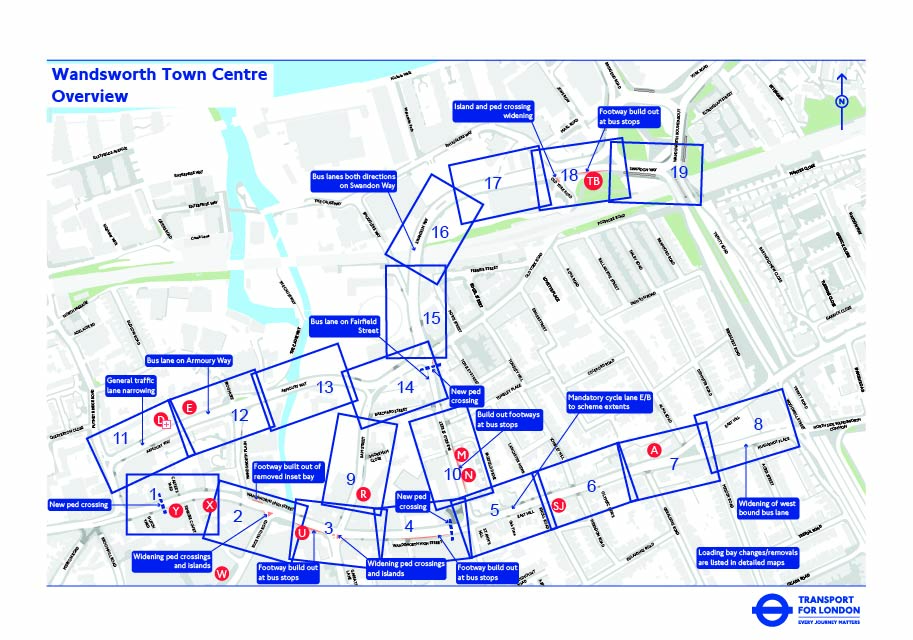
We are proposing improvements in different locations across these roads to address local transport and safety issues. Our proposals aim to improve bus passenger experience and access as well as bus journey time reliability. We also want to make it easier to walk and wheel in the town centre by widening and enhancing pedestrian crossings and waiting areas and provide targeted improvements for cycling connectivity across the town centre.
The proposals in detail
Wandsworth High Street
- Introduce a new pedestrian crossing halfway between Putney Bridge Road junction and Wandsworth Plain to make it easier and safer for people walking to travel across the town centre
- Provide footway build-outs at the following bus stops:
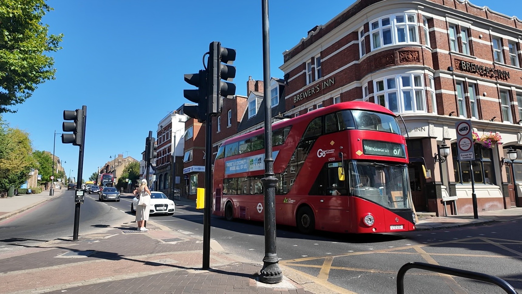 Bus stop U (Wandsworth Southside), outside the King's Arms public house, to provide more waiting space for bus passengers and improve pedestrian comfort
- Bus stop P (Wandsworth Town Hall), west of St Ann’s Hill, to increase passenger waiting areas and provide wider footpaths for people walking, and footway space outside of the college for students
- Introduce a new signalised pedestrian crossing on Wandsworth High Street halfway between Garratt Lane and Fairfield Street to provide an additional safe crossing point
- Re-align road markings to encourage lower vehicle speeds
- Remove, change or relocate multiple carriageway bays in bus lanes and near bus stops to improve bus priority
- Extend the bus lane to the Buckhold Road junction to improve bus journey reliability
- Add Advanced Stop Lines at signal-controlled junctions to improve safety for people cycling
Wandsworth High Street (Map sections 1-4)
Buckhold Road junction
- Widen the footway waiting island at the junction and western footway (in front of Arepa) to improve comfort for people walking
- Re-align and widen pedestrian crossings to better support journeys made on foot and reduce crowding during busy periods
- Introduce a new northbound mandatory cycle lane to provide safer cycle access towards the advanced cycle stop line at the junction
- Introduce a new northbound bus lane near Bus Stop W (Wandsworth Southside) to improve bus journey reliability and provide access for people cycling
Buckhold Road junction (Map section 2)
Garratt Lane junction
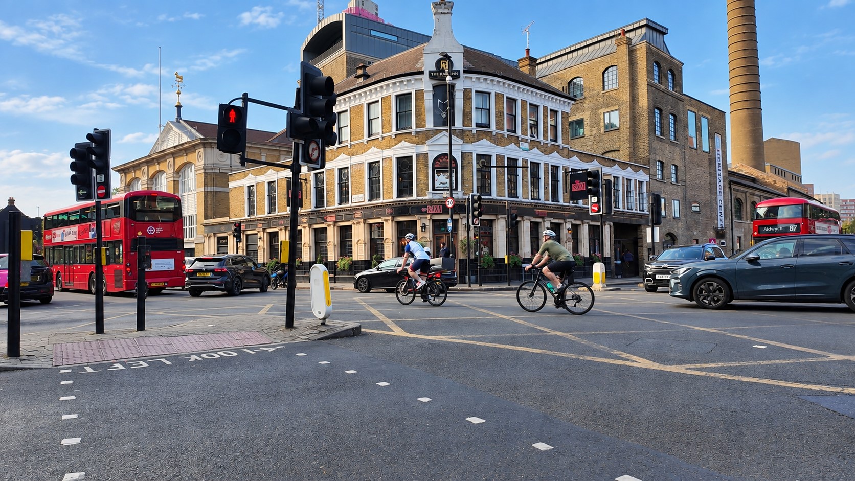 Widen the footway at the pedestrian waiting island at the junction and eastern footway to improve comfort for people walking
- Re-align and widen pedestrian crossings to provide more waiting space, improve visibility and make crossings easier to use for people walking
- Separate the northbound bus route into Ram Street, creating more space for buses and people cycling
Garratt Lane junction (Map section 3)
East Hill and Huguenot Place
- Remove or relocate a number of carriageway bays to improve the traffic flow and safety for people cycling
- Widen existing bus lanes to support more reliable bus journeys along East Hill and provide wider space for cyclists
- Introduce a new mandatory cycle land eastbound on East Hill and east of Fairfield Street to Geraldine Road and north on East Hill to Dempster Road, to make it clearer for drivers on presence of cyclists and creating dedicated space for cyclists uphill to Huguenot Place, and improving local cycling connections
- Change road markings to promote lower vehicle speeds
- Widen the pedestrian crossing over Geraldine Road and improve the side road entry treatment to reduce vehicle turning speeds and improve road safety
East Hill and Huguenot Place (Map section 5-8)
Swandon Way to Armoury Way (main roads)
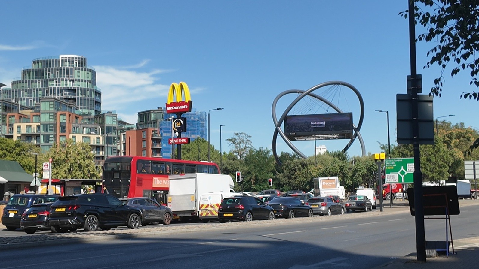 Introduce new northbound and southbound bus lanes on Swandon Way to improve bus journey reliability throughout the gyratory. This would mean there would be no right turn south westbound from Swandon Way into the BP fuel station
- Provide a bus stop build-out at bus stop TB (Swandon Way) to provide space for a more shared space for people walking and cycling and improve access to the bus stop
- Widen the existing pedestrian island and crossings at the Old York Road junction to improve comfort and safety for pedestrians
- Introduce new bus lanes to improve bus priority travelling through the area while providing space for people cycling
- Narrowing the existing general traffic lanes to accommodate new wider bus lanes and encourage lower vehicle speeds
Swandon Way to Armoury Way (Map sections 11-19)
Fairfield Street
- Re-align road markings to provide better guidance to drivers for improved lane discipline and improved safety for all users
- Introduce a new bus lane to support bus priority
- Provide more waiting space for customers, wider footways for pedestrians and improve access to bus services
- Widen the Fairfield Drive pedestrian crossing to improve visibility and pedestrian comfort
- Widen the southeastern footway at Old York Road and Fairfield Street junction and provide a new signalised pedestrian crossing over Fairfield Street at the junction with Armoury Way, Old York Road and Swandon Way
Fairfield Street (Map sections 10,14,15)
Side roads – Ram Street and Wandsworth Plain
- Relocate or remove selected carriageway bays to provide additional space for bus priority measures, support more reliable bus journeys and a safer cycle route
- Widening of existing bus lanes to provide safer cycle provisions in both directions
Side roads – Ram Street and Wandsworth Plain (Map sections 2,3,9,12,14)
Our proposals aim to support more sustainable travel choices by making bus, walking and cycling journeys more comfortable whilst providing a stepping stone towards longer-term ambitions for the area and future improvements to the town centre transport network.
Why?
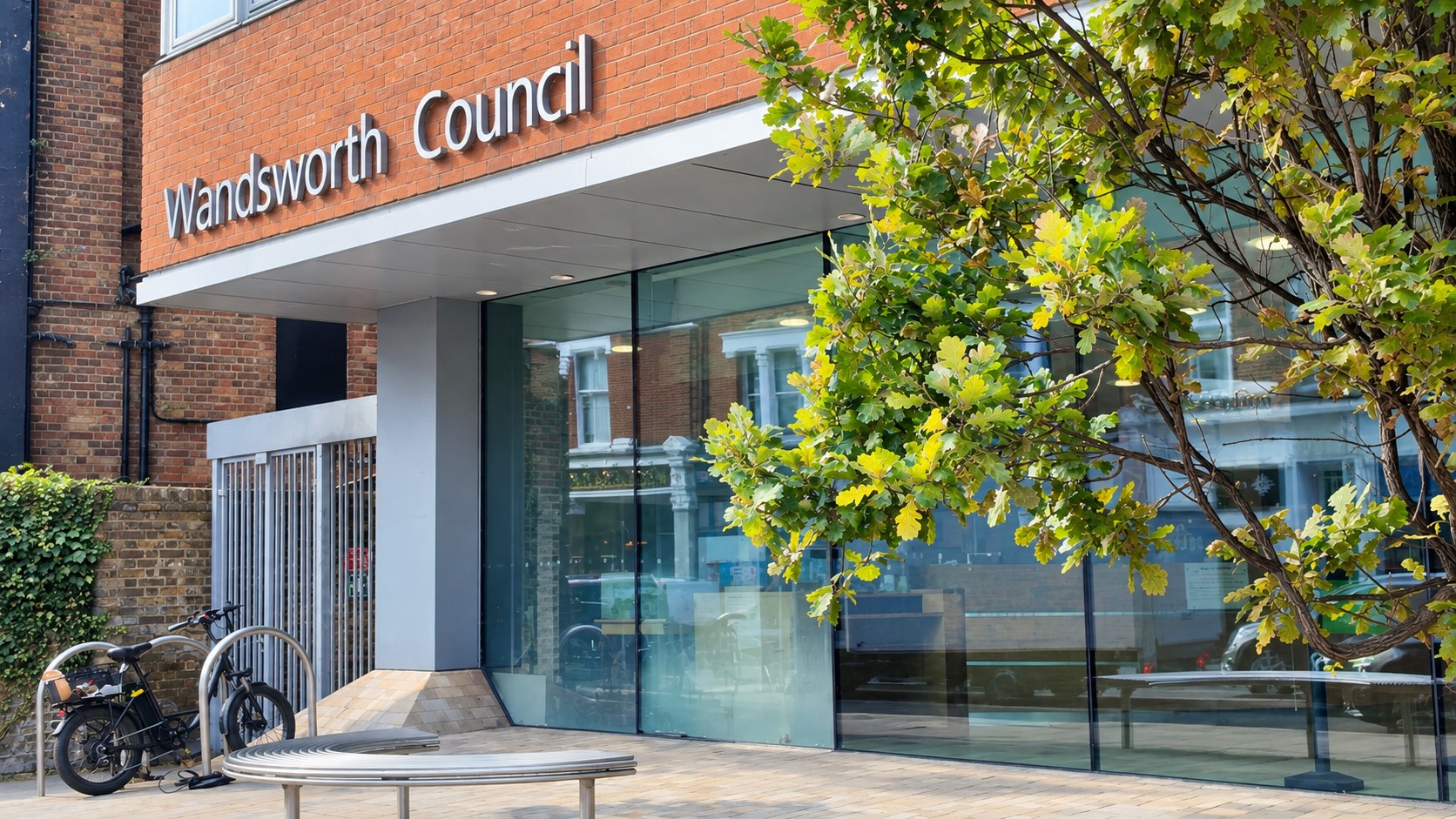 The Mayor of London is committed to tackling air pollution, promoting public transport and making our streets safer. The Mayor’s Transport Strategy sets a target for 80% of trips to be made via walking, cycling or public transport by 2041.
We have developed proposals for enhancements to Wandsworth Town Centre that best respond to the community’s priorities. Wandsworth Council are progressing a series of short-term improvements to the town centre. These include improving lighting and pedestrian access to the railway bridges on The Causeway and Swandon Way and adding planting and greening to the High Street, amongst other measures.
This consultation is concerned with a set of proposed improvements to Wandsworth Town Centre in the medium term. The scheme we describe on this website is intended to further respond to the community’s priorities and to address the following issues:
- There are large numbers of pedestrians in the town centre, and existing crossings and pavement areas/waiting areas are becoming crowded
- Bus services which serve the town centre can be delayed and there is overcrowding at some bus stops
Had TfL not proposed a scheme to remove the Wandsworth Town Centre gyratory?
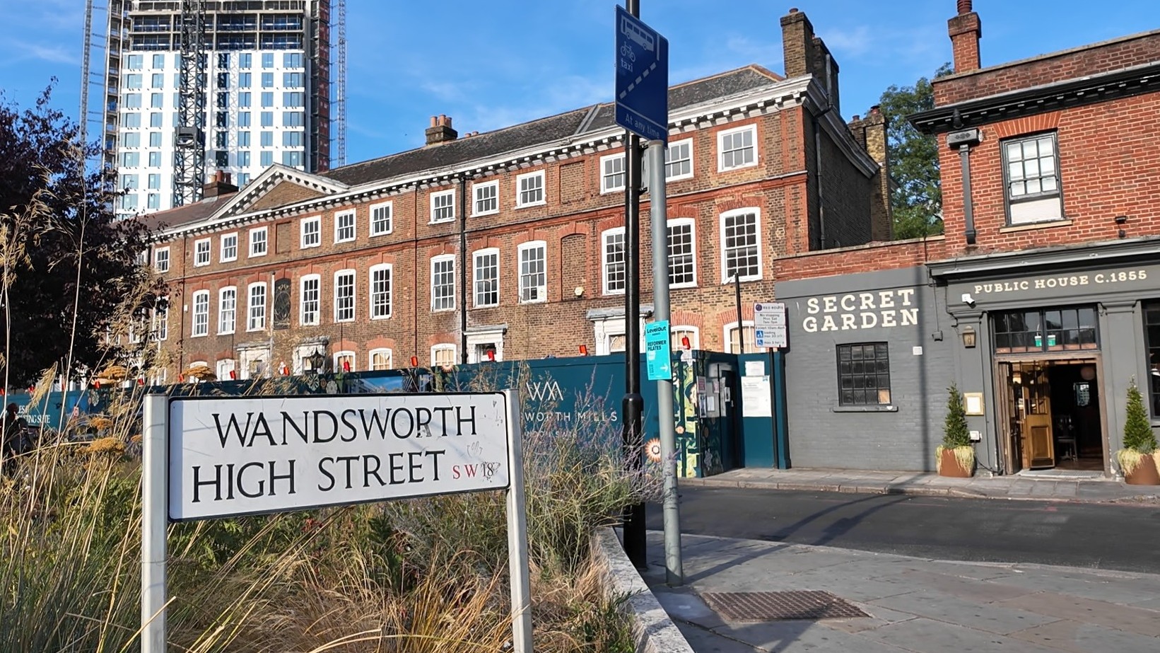
In 2025, TfL was unable to secure the funding required to progress the plans put forward in 2015 to remove the one-way system. This was due to the impact on general traffic and bus journey times, together with increasing construction costs. As a result, the decision was made not to proceed with the scheme.
What about the longer term?
Any further proposals are dependent on the availability of funding. We’ll continue to keep the community informed of any further schemes we develop for the longer term.
How it impacts you
We have conducted an Equality Impact Assessment on this proposal that you can find in the ‘More Information’ tab.
Whilst the impact of the scheme may vary for individuals, the proposals are expected to have a positive effect on comfort and positive travel experience across Wandsworth Town Centre.
If you are walking
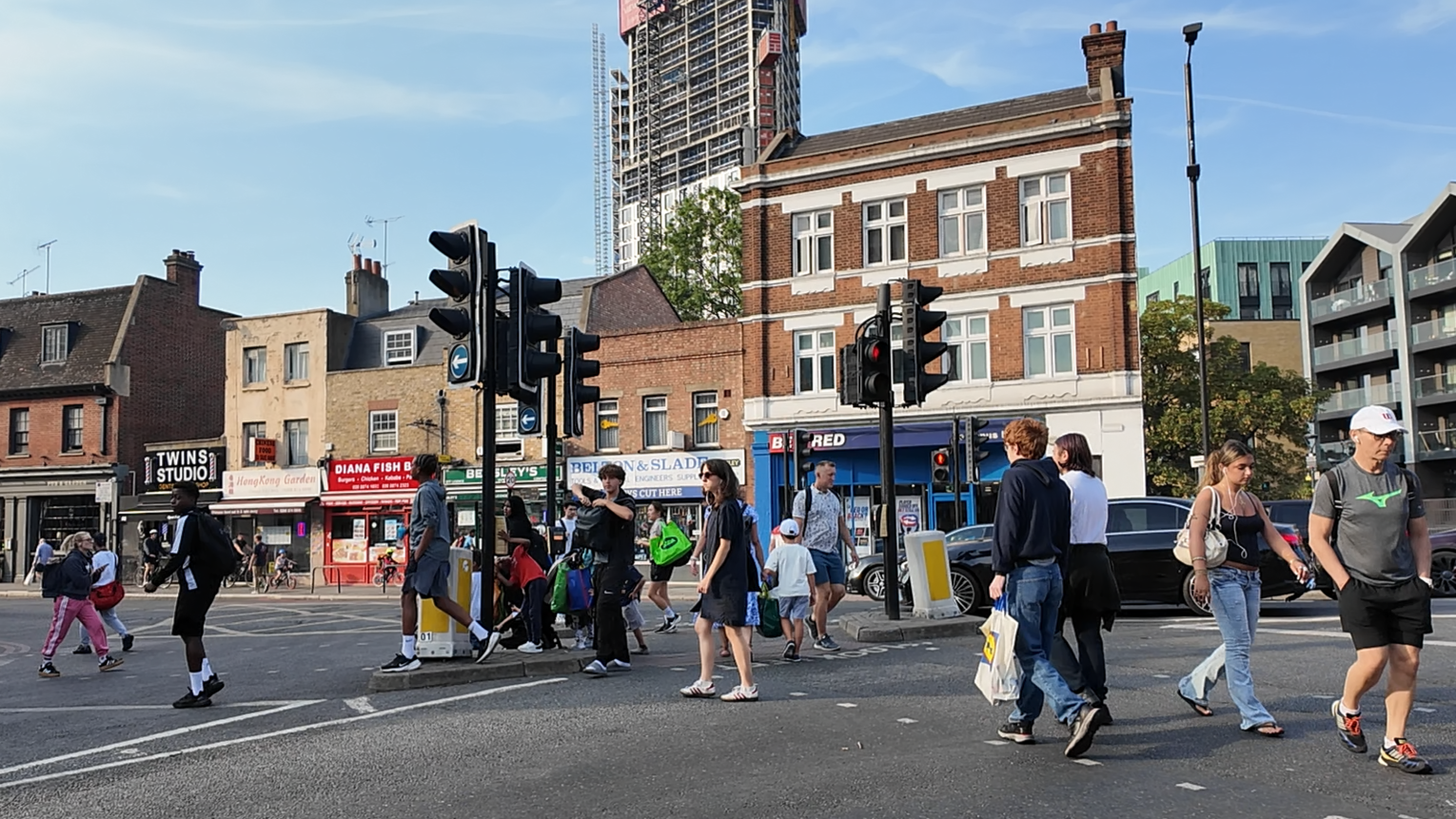 We propose a range of changes that we expect would make Wandsworth Town Centre more pleasant and easier to navigate for people walking. This is because the proposals include new pedestrian crossings and widened footways as well as waiting islands, amongst other improvements, as follows:
- Additional crossings for safety on busy roads
- Wider crossing facilities at key junctions for accessibility to town centre and comfort
- Safey-focused signal changes to reduce pedestrian and vehicle conflict
- Improved walking connections to move between Southside Shopping Centre and Wandsworth High Street and surrounding destinations
If you are cycling
We would expect that people cycling would find it easier and safer to use Cycleway 8 for access into the town centre. This is because our proposals include the following:
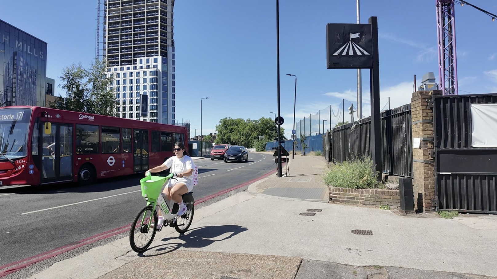 Reduced vehicle conflict points through safer junction layouts and revised signal arrangements
- Improved crossing arrangements would help with cyclists crossing the road at key locations
- Reduced congestion to improve cycling comfort
If you are travelling by bus
Our proposed changes would improve bus reliability, reduce delays and enhance the experience of bus passengers travelling through Wandsworth Town Centre.
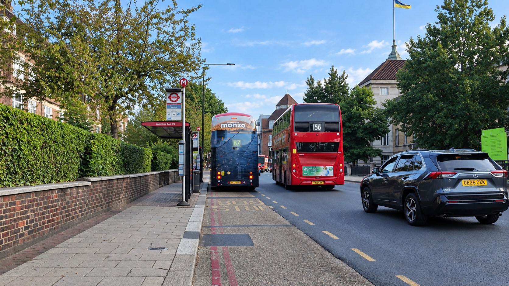 Our proposals would reduce journey times for some bus users, especially during morning peak hours. Journeys on routes 170 (Southbound), 37 (Westbound) and 337 (Westbound) would be between two - four minutes quicker. There are still time savings in the afternoon peak period, although most journeys would be one - two minutes quicker.
For other routes which serve Wandsworth Town Centre there would be either more modest reductions in journey times, or a minor increase in journey times at some times of day. We wouldn’t expect these effects to be noticeable to passengers, however.
If you are travelling by car, van or a motorcycle
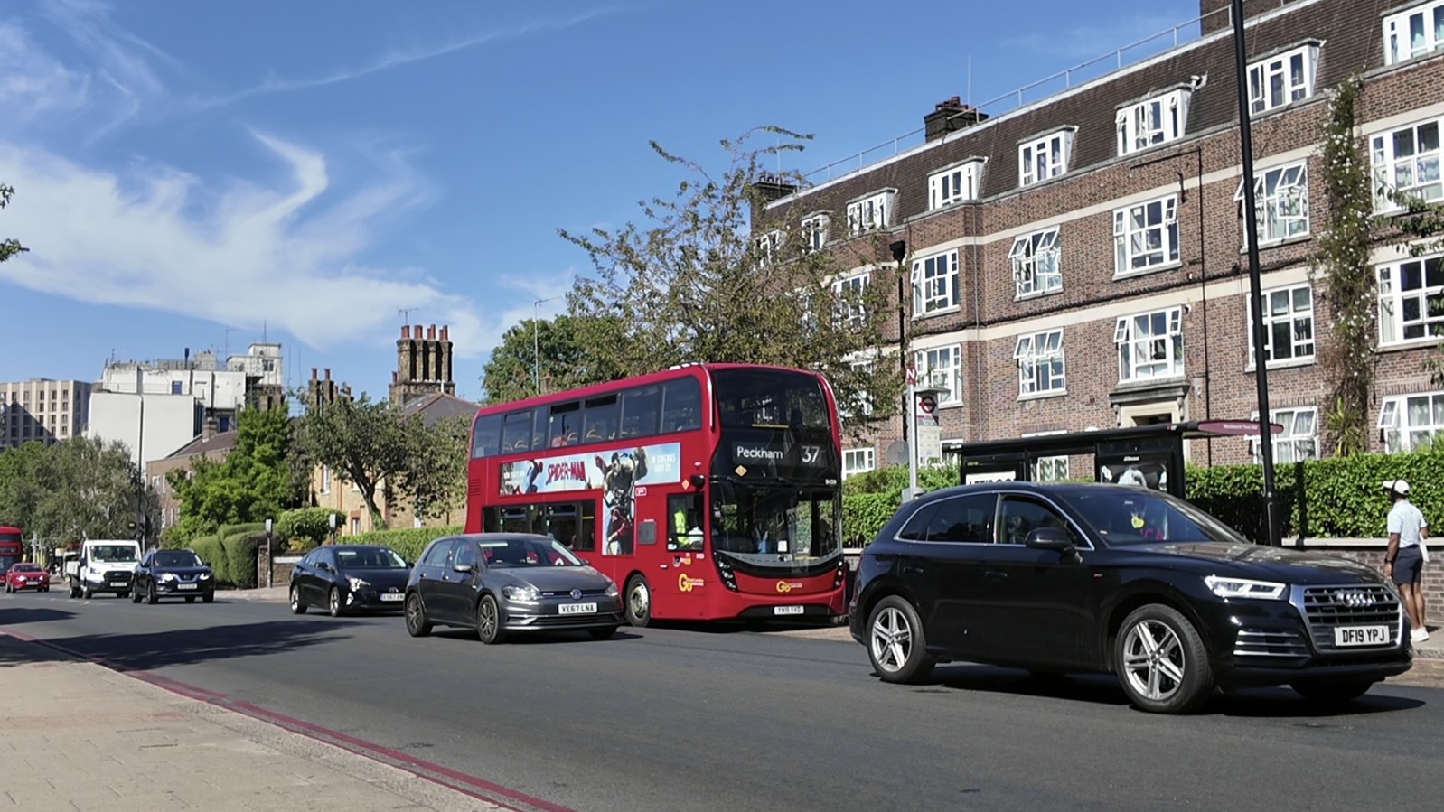 The scheme is designed to have limited impact on journey times for general traffic. It generally improves transport performance across the network, especially during the morning peak period, with most routes through the town centre experiencing either reduced journey times, or very minor increases.
We would expect journey times for general traffic on most routes through the town centre to reduce by around two - five minutes during morning peak hours and by around two - three minutes during afternoon peak hours. However, there is an increase in journey times of two - three minutes during the morning period for northbound traffic between Lavender Walk/Battersea Rise towards Wandsworth Bridge.
More information
We will be holding two drop-in events:
- Saturday 10 October 2026, 10:00 – 14:00 at National Opera Studio
(National Opera Studio, The Clore, 2 Chapel Yard, London SW18 4HZ, UK)
- Tuesday 27 October, 15:00 – 19:00 at Brathway Hall
(Brathway Hall, Brathway Road, London SW18 4BE)
This will give you an opportunity to get further information about the proposals and provide your thoughts and feedback, to allow us to consider your views. We will have paper copies of the survey, maps and consultation materials available, and the team will be on hand to answer any questions you may have.
You can also ask us a question using our question tool.
We have also provided more information to help you respond and a set of Frequently Asked Questions:
Accessible information
We want to make sure everyone can take part in our consultations. To help make it accessible to everyone we have provided our consultation information in the following formats:
 British Sign Language
 Easy Read
 Audio files
Translation
You can also translate the information on this page into another language by using the ‘Select language’ button at the bottom of the page
British Sign Language
To further enhance how we consult with London's deaf community have provided British Sign Language (BSL) videos of our proposals and survey:
BSL video of our proposals
BSL video of our consultation survey
We are delighted to enable British Sign Language users to contact us using a British Sign Language video interpreter, via the Interpreters Live service, provided by Sign Solutions. Please click the image below to connect now:
Easy Read
Audio files
Tell us your views
You can reply by completing our survey, which should take no more than 10 minutes to complete or if you are short on time, you can submit a quick response.
 |  |
The closing date for comments is Friday 6 November 2026.
Questions?
You can use our question tool during the consultation period. We will respond to your questions as soon as we can.
Or you can ask your question in person at our two drop-in events:
- Saturday 10 October 2026, 10:00 – 14:00 at National Opera Studio
(National Opera Studio, The Clore, 2 Chapel Yard, London SW18 4HZ, UK)
- Tuesday 27 October, 15:00 – 19:00 at Brathway Hall
(Brathway Hall, Brathway Road, London SW18 4BE)
This will give you an opportunity to get further information about the proposals and provide your thoughts and feedback, to allow us to consider your views.
You can also contact us by email, via our telephone call back service (020 3054 6037) or in writing (FREEPOST TfL HAVE YOUR SAY).
Next steps
These proposals are subject to the outcome of our consultation. Once consultation ends on Friday 6 November 2026, we will spend time considering all the responses we receive and will prepare a consultation report.
The consultation report will help us reach a decision about whether to proceed with the proposals, amend them or not take them forward.
The report will be available to everyone that takes part in the consultation and a copy will be published on our website.