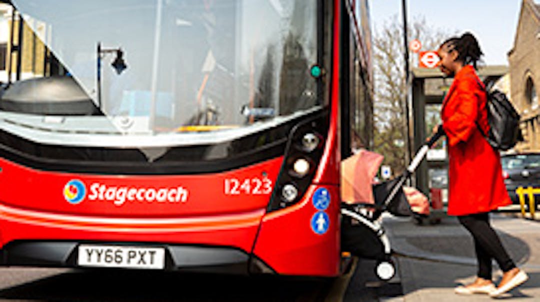
The A10 Tottenham High Road is an important part of London’s road network several bus routes and thousands of vehicles every day. We've been working on a proposal to make bus journey speeds in this area faster and more reliable, by increasing the size of bus stops located near Bruce Grove station.
We want to hear from you about these proposals. You can share your views by using the Guestbook below.
Why we are proposing these changes
We expect demand for buses will increase due to nearby developments such as Broadwater Farm and White Hart Lane. We want to makeContinue reading
The A10 Tottenham High Road is an important part of London’s road network several bus routes and thousands of vehicles every day. We've been working on a proposal to make bus journey speeds in this area faster and more reliable, by increasing the size of bus stops located near Bruce Grove station.
We want to hear from you about these proposals. You can share your views by using the Guestbook below.
Why we are proposing these changes
We expect demand for buses will increase due to nearby developments such as Broadwater Farm and White Hart Lane. We want to make buses move faster and be more reliable, which would encourage more people to use buses.
To help this we are proposing to extend the existing northbound and southbound bus cages on the A10 Tottenham High Road, near Bruce Grove station. Bus cages are marked areas on the road where buses can wait at the bus stop while passengers are boarding or alighting.
How these proposals may affect you
These proposals would benefit hundreds of bus passengers who use this route every day. It would mean improved overall journey times and service reliability for routes including 149, 243, 318, 341, 349 and 476. We are proposing to extend the northbound bus cage by 21 metres and the southbound bus cage by 7.1 metres. The extended bus cage area will have an increased capacity for buses at the bus stop which will ease boarding and alighting of passengers safely. Please see the Documents section for drawings and more information on current arrangements and parking restrictions for the area.
As a result, we will need to reduce the size of the existing loading and Blue Badge parking bays to increase the length of the southbound bus cage. There will also be reduced space available for the loading bays located on the northbound side of Tottenham High Road. There will be no changes to current restriction times. The Bus Lane operational hours will remain as 7 am – 7 pm, except 10 am – 4pm. Loading will be for a maximum of 20 minutes, and Blue Badge parking for a maximum of three hours.
Have your say
We would like to hear your views before we further develop this scheme. If you have any comments or concerns that you would like to share about this scheme, please use the Guestbook located below. You can also email us at haveyoursay@tfl.gov.uk or write to us at FREEPOST TFL HAVE YOUR SAY.


 Type of conversation:


Why not make this entire corridor a red route while you're at it?
All of the buses that pass through Bruce Grove are continuously blocked by loading vehicles on the High Road.
On the Western side, motorists have Stoneleigh Road and plenty of alley way access to load goods in/out. What's the point of having parking/loading directly on the high road?
This is a major pinch point and pedestrian hazard and we need to remove as many obstacles related to motorists as possible.
To provide an optimal bus stopping area that would be safer, why not divide the bus stops from the main carriageway and have some lights at the end of the separate bus lane section where the lights are at the Bruce Grove junction, so buses would continue at different times to cars and other vehicles.
why you converting our roads o cycle lanes and bus lanes why not built new road did tfl built any road in last 20 years keep closoing our roads and telling us to buy expensive electric vehicles
This scheme feels like tinkering at the edges, but I guess even a small improvement to bus services is welcome.
In the scheme map accompanying this proposal, yellow lines indicate red road markings and red lines indicate yellow road markings - is this designed to confuse readers?